Geodesy and Geomatics Engineering - انگلیسی - دانشگاه خواجه نصیر طوسی
Faculty of Geodesy and Geomatics Engineering
About Us
Faculty of Geodesy and Geomatics Engineering, as the first faculty in Geodesy and Geomatics Engineering in Iran, has been established in 1954 and has a significant contribution to industry. The faculty offers undergraduate and postgraduate course of studies in four different departments including Geodesy, Geographic Information System (GIS), Photogrammetry and Remote Sensing (RS). The educational programs in the faculty aims the endless possibilities of Geomatics engineering offered to the students to help them achieve their future destiny.
Faculty of Geodesy and Geomatics Engineering established in 1954, is one the most significant Geodesy and Geomatics Engineering Faculties in Iran. Sometime after the formation of national mapping agency to train experts for surveying- related organizations, the surveying educational institute was established with the help of Plan and Budget Organization (PBO) of Iran. With increased civil and industrial development, demands for geographic data raised and the need for Surveying and mapping technicians increased. Thus, the above-mentioned institution altered to a "School of Surveying" in 1966. To meet the requirements of national mapping, the school of surveying engineering changed to faculty of surveying engineering in 1974. Since the beginning of this educational center, a few undergraduate courses in different branches were established in 1971. Until the glorious Islamic Revolution in 1979 more than 1,100 effective experts in various levels of education entered the labor market from Faculty of Surveying engineering.
After the Islamic revolution, the schools and educational centers in Tehran joined together as one of the departments in faculty of civil engineering at K. N. Toosi University of Technology. In 2002 the faculty of Geodesy and Geomatics engineering was established as an independent Faculty in K. N. Toosi University of Technology.
Academics
The Faculty of Geodesy and Geomatics Engineering offers B.Sc, M.Sc and PhD programs in Geomatics and its diverse fields of studies. The educational programs in the faculty aims at presenting the endless possibilities that Geomatics engineering can offer the students and help them achieve their potentials. The faculty staffs are committed to supporting student success, to fostering diversity and to conducting researches that make a difference. The status of the faculty as leading institution in the country is widely acknowledged and accepted. The faculty also has been assigned the responsibility to update the curriculum as well as the course materials for use by all institutions that offer Geodesy and Geomatics course in the country.
| BSc | MSc | PhD |
|---|---|---|
| Geomatics Engineering | Geodesy GIS Photogrammetry Remote Sensing |
Geodesy GIS Photogrammetry Remote Sensing |
Research
With 22 faculty members, an annual average of 35 international papers, and more than 200 graduate students, the Faculty of Geodesy and Geomatics Engineering is a powerhouse of research and innovation. The faculty pioneers in physical geodesy, photogrammetry satellite image applications and geospatial analysis. The faculty researchers are at the forefront of continuous progress, accompanied with industrial partnerships, and aim to creating important new fronteers in Geodesy and Geomatics engineering.
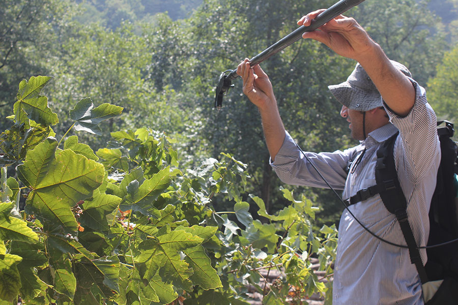
In photogrammetry and remote sensing we cover various applications such as urban management, natural hazard, forestry, geology, atmospheric and oceanography
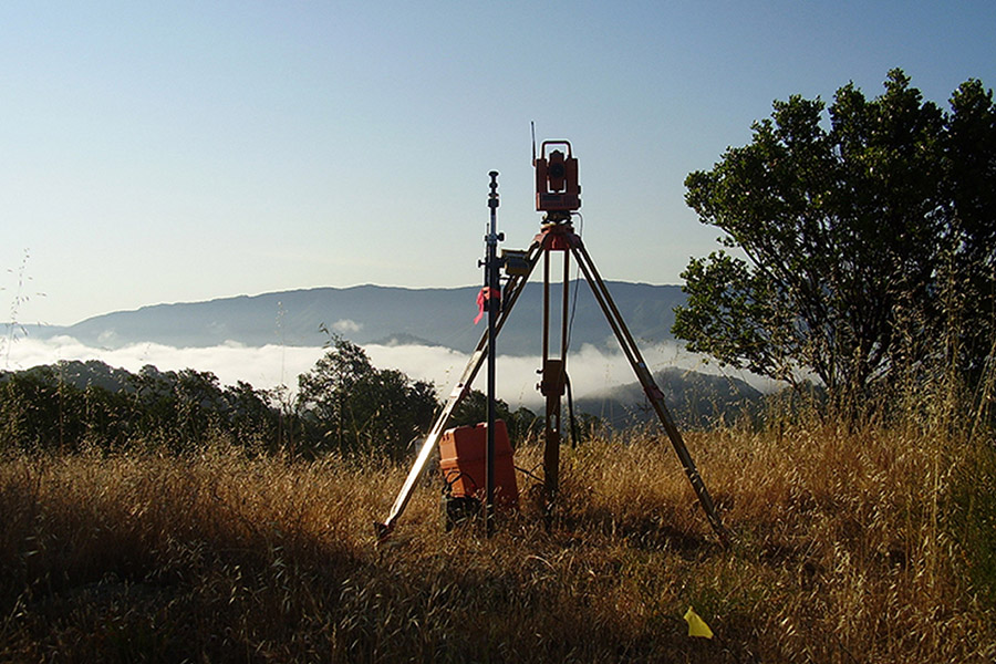
Research activities in Geodesy department are categorized into 4 different fields including physical geodesy, geometric and gravimetric satellite geodesy, geodynamics, and GNSS remote sensing.
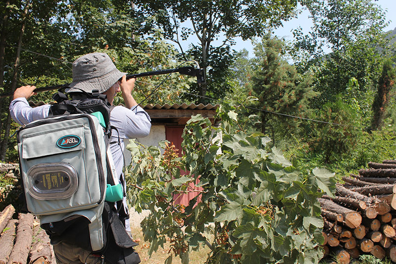
Geospatial information science (GIS) includes the applications of spatial data and knowledge to solve different problems related to urban systems, environment, health, industries and so forth.
In photogrammetry and remote sensing we cover various applications such as urban management, natural hazard, forestry, geology, atmospheric and oceanography use remote sensing and photogrammetry in a very professional manner to extract information for solving variety of problems of environmental management. In Iran, several organizations are dealing with Photogrammetry & remote sensing and use this technology to solve the growing related needs in the country in both administrative and the user levels. Graduates of Photogrammetry & remote sensing can be employed in organizations such as the Iranian Space Agency (ISA), National Cartographic Center (NCC), National Geographic Organization (NGO), Forests, Range and Watershed Management Organization, Ministry of Agriculture-Jahad and many private companies and non-governmental institutions all around the world. Photogrammetry & remote sensing departments consists of nine faculty academic members who are expert in different disciplines and active in lecturing, research, consultancy, and administrative activities.
The Department of Geodesy is the oldest department of the faculty which undertakes most of curriculum in B.Sc degree of Geomatics engineering. Research activities in this department is categorized into 4 different fields including physical geodesy, geometric and gravimetric satellite geodesy, Geodynamics and GNSS remote sensing.
The department's main research areas include the followings:
Geospatial information science (GIS) includes the applications of spatial data and knowledge to solve different problems related to urban systems, environment, health, industries and so forth. In Iran, several organizations are the producers of spatial data. Many others use spatial data for making their decision and carrying out their daily jobs. Graduates of GIS can be employed in such organizations. Alternatively, they can participate in private sectors, in different fields related to the usage of spatial data. GIS Department, as part of the faculty of Geodesy and Geomatics at K. N. Toosi University of Technology, consists of seven permanently-employed faculty members who are involved in different educational, research and consultancy, and administrative activities.
The department's main research areas include the followings:
Research Centers
Geospatial information technology (GIT) is a new branch of information technology, focused on the subjects related to earth science and observation. The main reasons to establish the center of excellence in spatial information technology is to develop domestic knowledge and technology. Faculty of geodesy and Geomatics uses the support of expert professors in different branches of Geomatics. There are a large number of papers being published each year in the well-known scientific journals. In addition, there are various industrial consultancy projects being carried out in this faculty. The performance of the faculty of Geodesy and Geomatics resulted in the establishment of a center of excellence for GIT to boost research in the area of spatial information technology and science. This center supports innovative research and activities in the area of spatial information technology.
Remote sensing research center was established in 2009 at the Geodesy and Geomatics Faculty with the support of the Iranian Space Agency (ISA). This center consists of three research departments namely System design and image processing, IT and management of remotely sensed data and Applications of remote sensing. The departments cover various domains in airborne and space borne remote sensing.
Prominent Research Labs
| Lab | Researcher | Department |
|---|---|---|
| Optical Remote Sensing | — | Remote Sensing Department |
| Remote sensing for ecology and ecosystem conservation | Dr. H. Latifi | Remote Sensing Department |
| Laser Scanners | Dr. Mohammadzadeh | Remote Sensing Department |
| Digital Image Processing | Dr. Maghsoudi | Remote Sensing Department |
| Radar Remote Sensing | Dr. Sahebi | Remote Sensing Department |
| Preliminary Photogrammetry | Dr. Mokhtarzadeh | Photogrammetry Department |
| Aerial and Analytical Photogrammetry | Dr. Valadan zoej | Photogrammetry Department |
| Digital Photogrammetry | Dr. Ebadi | Photogrammetry Department |
| Close Range Photogrammetry | Dr. Hosseini Naveh | Photogrammetry Department |
| Digital Mapping and Virtual Reality | Dr. Taleai | GIS Department |
| Applied GIS | Dr. Ale Sheikh | GIS Department |
| Physical Geodesy and Gravimetry | Dr. Amerian | Geodesy Department |
| Geodynamics and Microgeodesy | Dr. Vosoghi | Geodesy Department |
| LIS and Urban Management | Dr. Mesgari | GIS Department |
| Navigation and Way Finding | Dr. Malek | GIS Department |
| Global Navigation Satellite Systems | Dr. Mashhadi Hossainali | Geodesy Department |